Useful for understanding the historic centre. It does not prove that a listing sits beside the church or on an older lane.
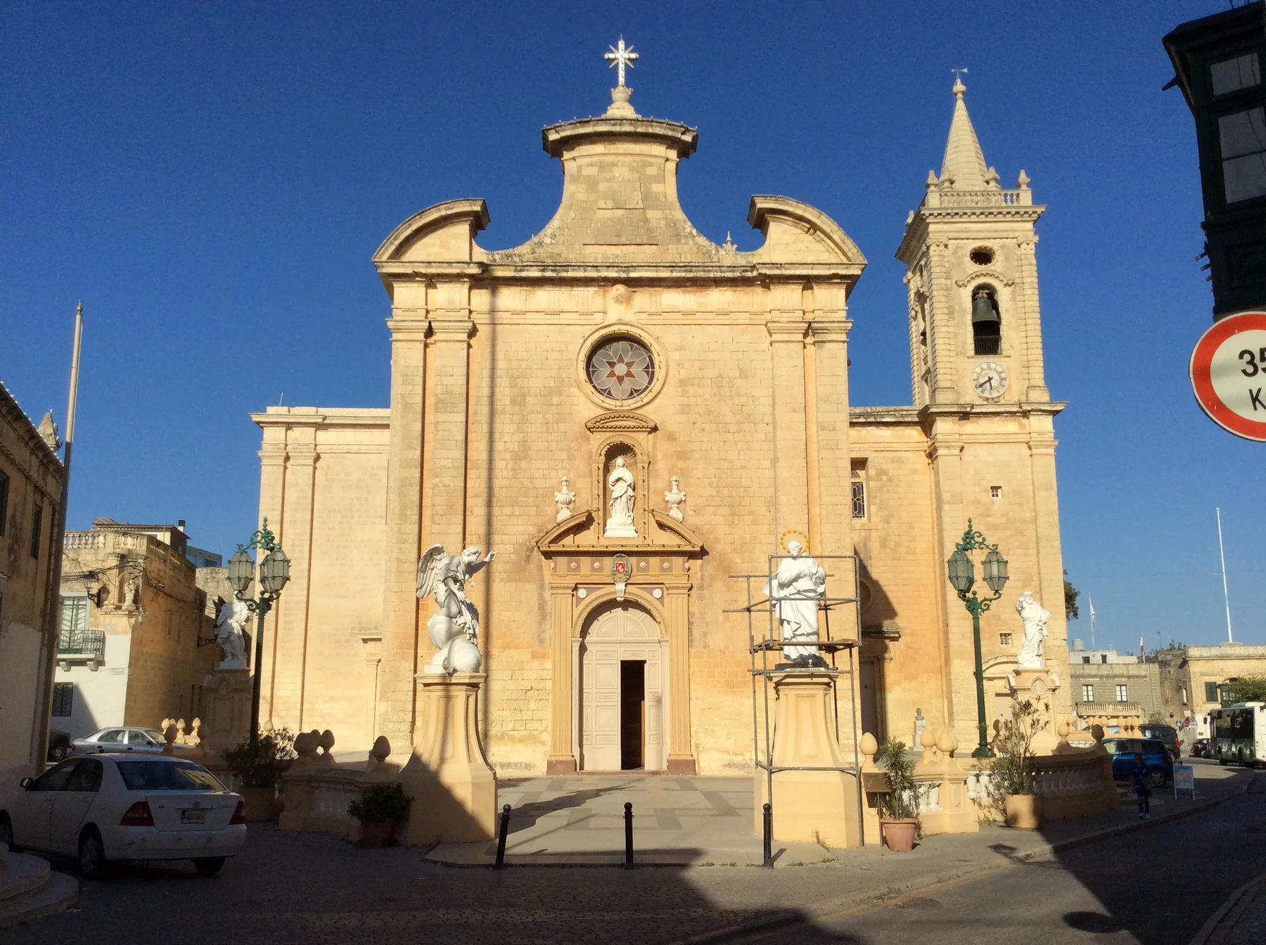
ĦAL BALZAN · MALTAOld village fabric.
Old village fabric.
Central connections.
Ħal Balzan's parish setting, older streets and later residential areas are different contexts. The “Three Villages” label links Balzan, Attard and Lija historically, but it does not move their boundaries or landmarks.
READ THE LOCALITY PRECISELY
A compact place with distinct neighbours.
The parish church and older fabric establish a civic and heritage centre. Attard, Lija, Birkirkara and Iklin remain separate localities. Exact street context still determines access, traffic, parking and the route to daily errands.
Balzan, Attard and Lija share a broad label while keeping separate councils, streets and landmarks.
A locality centroid cannot establish quietness, parking, pavement continuity, a garden or any particular outlook.
A bus corridor is not a timetable promise.
Malta Public Transport currently publishes Route 54 with Balzan stops. Use the live operator page for departures, diversions and connections rather than relying on frozen brochure times.
The street answers the practical questions.
Confirm evening traffic, parking arrangement, pavement continuity, entrance access, nearest useful stop and the actual route to regular errands. A Balzan label alone cannot answer them.
EVERYDAY ORIENTATION
Start with durable public anchors.
The council, live transport page and public health service provide a responsible first check. Shops, operators and street-level convenience still need current verification.
Ħal Balzan Local Council
Use the official council site for current notices and local administration rather than freezing service details into a brochure.
Birkirkara Health Centre
Primary HealthCare currently includes Balzan in this centre's catchment. Check its live page for services, eligibility and opening information.
Route 54
This establishes a current operator corridor only. It does not guarantee a frequency, connection, nearest stop or property-specific journey time.
Verify the exact street
No durable grocery anchor was established in this research pass. Check current shops and the actual walking environment from the property.
FOOD, WITHOUT RANKINGS
A licence register is a starting point.
The Malta Tourism Authority's current Balzan filter returned two licensed restaurant records when checked on 25 October 2026. Licensing does not establish quality, cuisine, price or today's opening hours.
Check the operator directly
Confirm that the venue is trading, the address is current and the service suits the occasion. This edition deliberately avoids “best” lists and review-score claims.
Test the real daily route
A licensed address elsewhere in Balzan does not prove a comfortable walk from every home. Check crossings, pavements and the route at the time it will be used.
Continue with each locality in its own context.
Compare Ħal Balzan with the separate Attard edition, Iklin edition and Birkirkara edition. Their councils, streets, services and maps remain distinct.
Open the locality overview only when you need it.
The map frames Ħal Balzan and surrounding place labels for orientation. It deliberately draws no boundary, route, distance, travel time or listing location and loads from OpenStreetMap only after your click.
Malta Address Registrar · Ħal Balzan Local Council · Archdiocese parish page · Birkirkara Health Centre · MPT Route 54 · MTA restaurant register. Volatile service details require a fresh check.