The inventory shows a shared locality centroid, not the building. It cannot establish a historic-core position, nearest stop, parking arrangement, gradient, view or entrance.
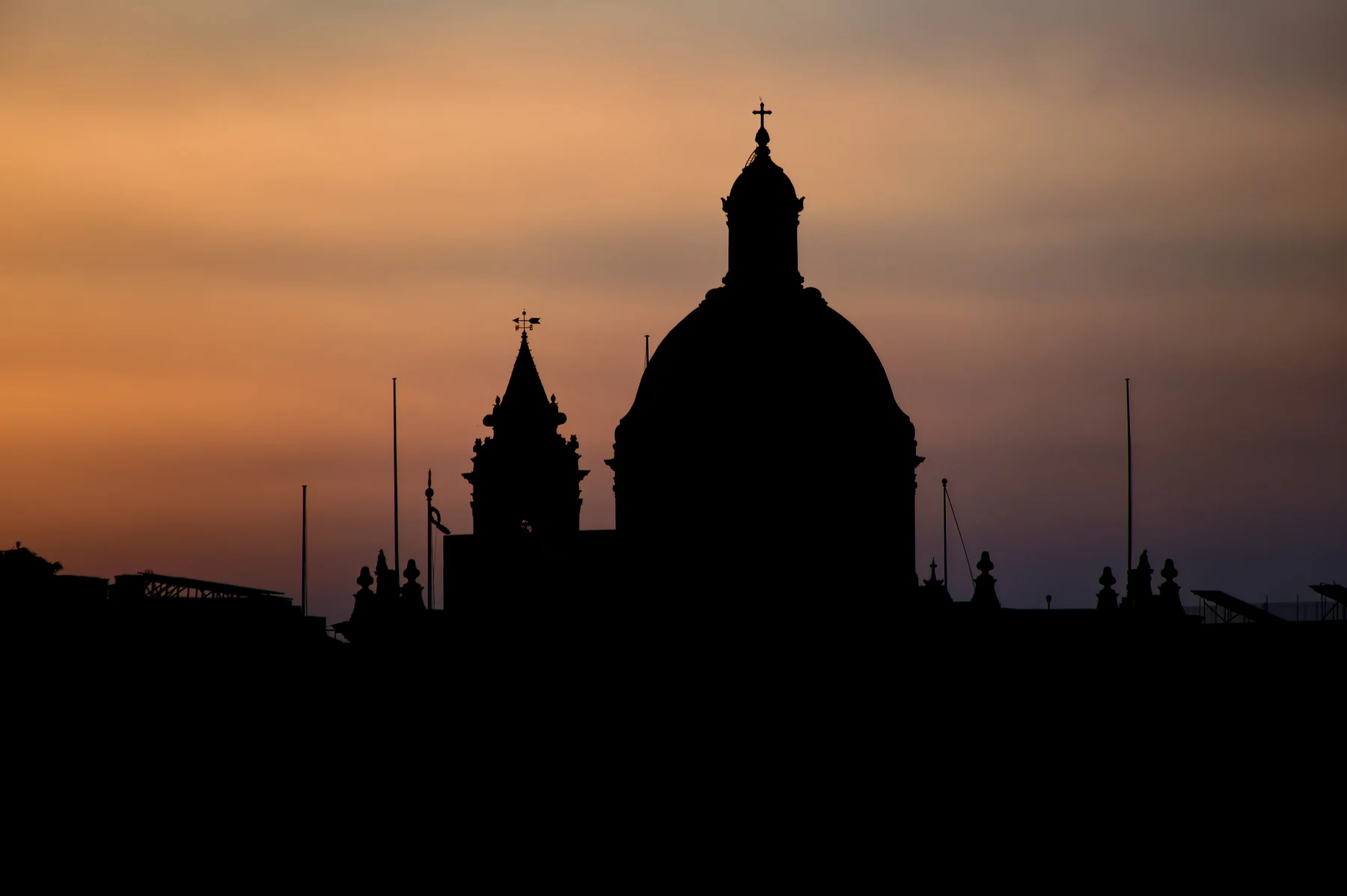
ĦAŻ-ŻABBAR · PORT REGIONHistoric centre.
Historic centre.
Residential edges.
Żabbar has a sanctuary-led centre, the Hompesch approach and wider residential edges towards several neighbouring localities. The locality name alone cannot tell you which setting belongs to a home.
READ THE ADDRESS
One city, several approaches.
The sanctuary core, Hompesch Gate and the roads towards Fgura, Xgħajra, Kalkara, Marsaskala and Żejtun are not interchangeable. Confirm the full address, entrance, street approach and permitted route before planning a viewing.
Żabbar is distinct from Fgura, Xgħajra, Kalkara, Marsaskala and Żejtun. Verify both the locality label and the actual street rather than relying on a nearby landmark.
Bus corridors are not walking or driving estimates. Any future route needs real endpoints, routed geometry, a named mode and a current source.
A historic core, not every address.
The Local Council and Archdiocese document the Hompesch city title, the sanctuary and the older centre. That supports place context but does not place a current listing beside the church, museum or gate.
Archdiocese of Malta — Ħaż-Żabbar parish ↗The wider city needs a street check.
The Hompesch approach and residential edges lead towards different neighbouring localities. Council references to countryside or rocky coast describe the wider municipality, not guaranteed proximity, access, quietness or outlook from a home.
Ħaż-Żabbar Local Council ↗EVERYDAY CHECKS
Build the viewing around live information.
These current service and operator pages help structure a visit. They do not prove which option is nearest to a particular home. Recheck stops, schedules, services, hours and the real street route on the day.
Route 90
Malta Public Transport currently lists a Valletta–Żabbar corridor with named Żabbar stops. Timings and the useful stop stay on the live timetable.
Current Route 90 ↗Route 94
The operator currently shows Żabbar stops on the separate Valletta–Xgħajra corridor. This is scheduled service, not a fixed journey time for a listing.
Current Route 94 ↗Community Clinic
Primary HealthCare identifies Żabbar Community Clinic at the Civic Centre on Triq iċ-Ċawsli. Services follow current schedules and appointments.
Primary HealthCare ↗Operator-verified choices
Scotts lists a Żabbar supermarket near Hompesch Gate, while The Convenience Shop lists two Żabbar branches. Neither is a nearest-store or access claim.
Scotts locator ↗ · MyConvenience locations ↗ONE SOURCED EXAMPLE
Useful evidence beats a padded list.
The current MTA register establishes one licensed restaurant example in Żabbar. It does not rank quality, describe today's menu or prove proximity to a home. Hours, prices and reservations need a current operator check.
Ottoman by Posh Restaurant
The Malta Tourism Authority register records this licensed restaurant name and Żabbar address. It appears as a sourced locality example, with no “best of” claim.
MTA licensed restaurant register ↗No filler recommendation.
No second independent operator has yet cleared the sourcing standard for this edition. The space stays transparent rather than turning directory or review data into a recommendation.
A centroid is not a route.
This preview draws no route. The shared Żabbar coordinate is only an area-level map centre and cannot identify a property, sanctuary approach, nearby coast or useful stop. Any future itinerary must name real endpoints, follow routed geometry and identify the mode and source.
Open the Żabbar overview only when needed.
The map frames Żabbar and surrounding place labels for orientation. It deliberately draws no council boundary, property pin, route, straight line, distance or travel time and loads from OpenStreetMap only after your click.
Ħaż-Żabbar Local Council · Council and Port Region context · Archdiocese of Malta · VisitMalta destination search · Malta Public Transport Route 90 · Route 94 · Primary HealthCare · Scotts · The Convenience Shop · MTA restaurant register
Neighbourhood edition. No ranking, fixed opening hour, service availability, menu, property-specific distance, guaranteed view, parking claim, accessibility promise, route or journey time is implied.
Continue with the Paola (Raħal Ġdid), Ix-Xgħajra, Kalkara, Żejtun and Marsaskala editions, or return to all neighbourhoods.