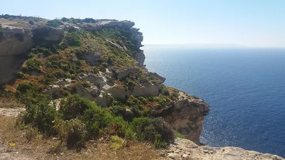
The tourism authority’s Munxar feature places the inland village between valleys, with Sanap and Ras il-Bajjada on its coastal edge and Xlendi below the village core. The photograph shows Sanap’s cliffs in 2017, rather than the parish square.
A coastal outing needs its own approach and weather check. The church marker below is an orientation point in the village; it supplies no path, distance or walking time to the cliffs. Choose a verified land route and check current access before setting off.
Back in the village, Visit Gozo records wartime shelters beneath the square, constructed in 1942. Ask the council about any current visiting arrangements. Their historical existence does not establish that they are open to visitors today.