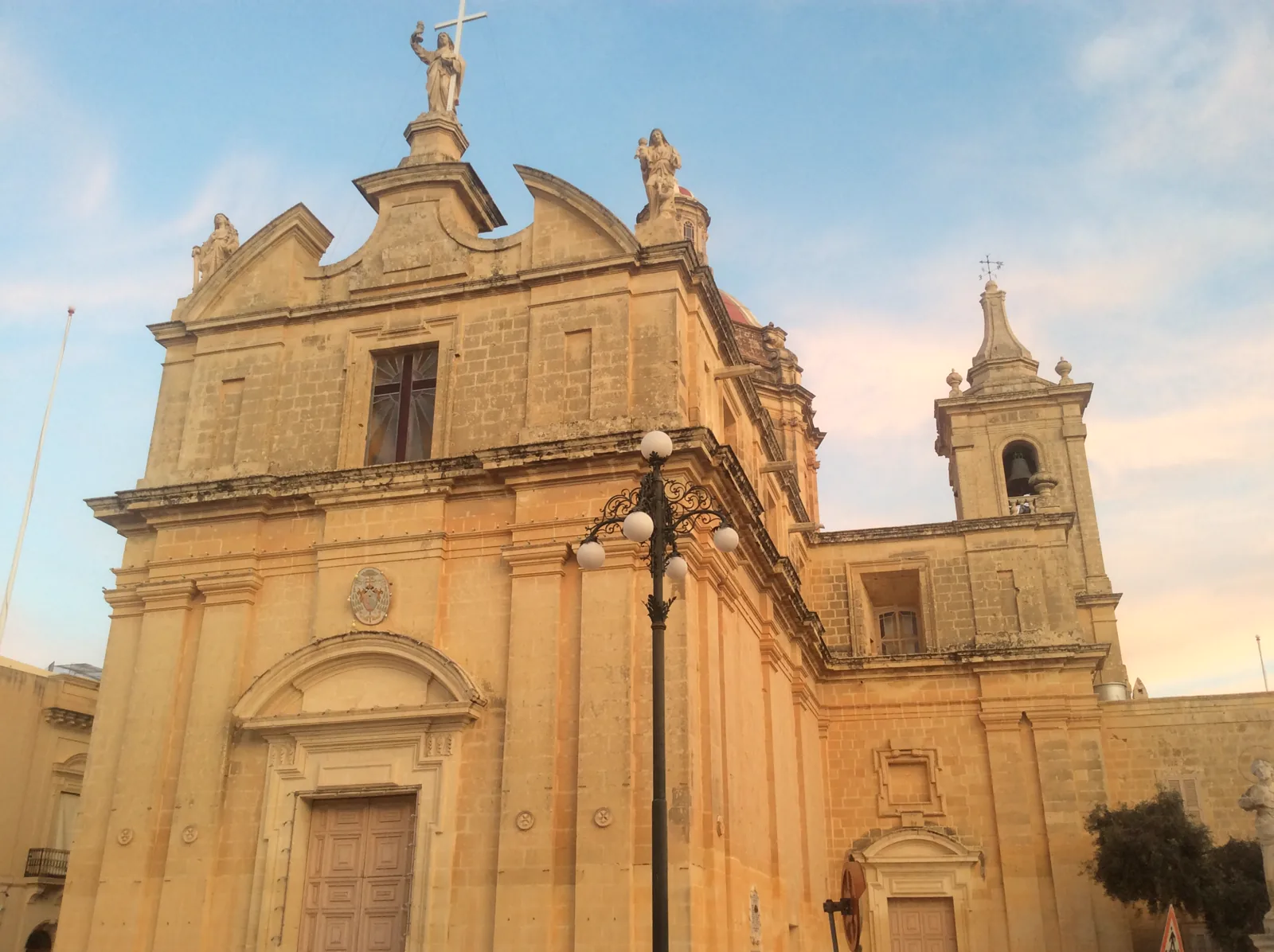
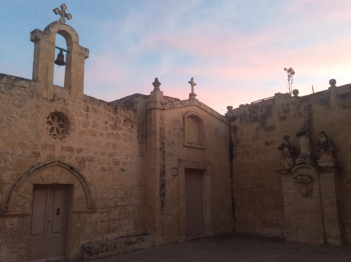
Start at the parish square, then take in the smaller chapels and the streets that lead away from it. The history of local limestone gives this part of western Malta its own story.
Pjazza tal-Knisja is a starting point for understanding the settlement. The Church of the Assumption rises above the square and the government recorded the completion of restoration work there in April 2026. Nearby St Basil’s and St Michael’s are separate chapels. The council’s account traces an earlier chapter of parish life to St Basil’s.
Look at the stonework around the square in the context of a village whose building trade and employment were shaped by local soft limestone. The quarries belong in that history. The public square and chapel exteriors offer places to see how the material was used.
For a planned visit beyond the square, Heritage Malta’s Ta’ Mintna Catacombs require an advance appointment and a staff escort. Check the site’s arrangements before travelling.
Check the stop and direction before choosing a bus. Route 72 links the village to the Valletta–Qrendi corridor. Route 218 connects L-Imqabba with Mater Dei. The operator was showing a construction detour on route 72 during the source review, so use its current service notices for the day you travel.
For public healthcare, L-Imqabba falls within the Kirkop Health Centre catchment. Check the service location and appointment arrangements for your visit.
Three food and drink addresses
Two addresses are on the parish square and one is on Triq San Bażilju. The Malta Tourism Authority register gives the names, categories and addresses below. Check trading hours, menus and access with each business.
Sources reviewed 16 November 2026. Use the council and parish information for local access. For a broader picture of western Malta, continue to nearby Il-Qrendi and Ħal Kirkop.